Trails
Flagstaff is home to hundreds of incredible single-track trails, forest roads, and the famous, perhaps infamous, Lake Mary Road.
Below, we have highlighted some of our favorite places to run here in Flagstaff.
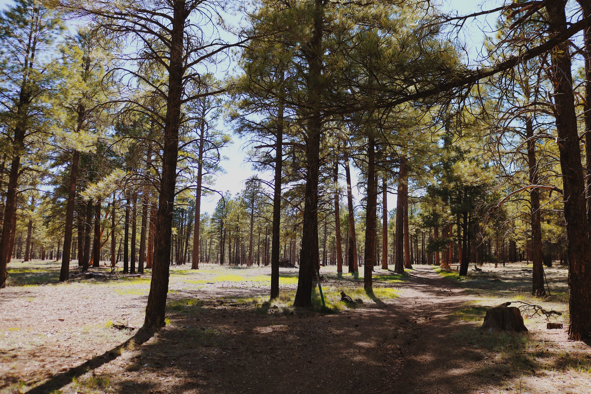
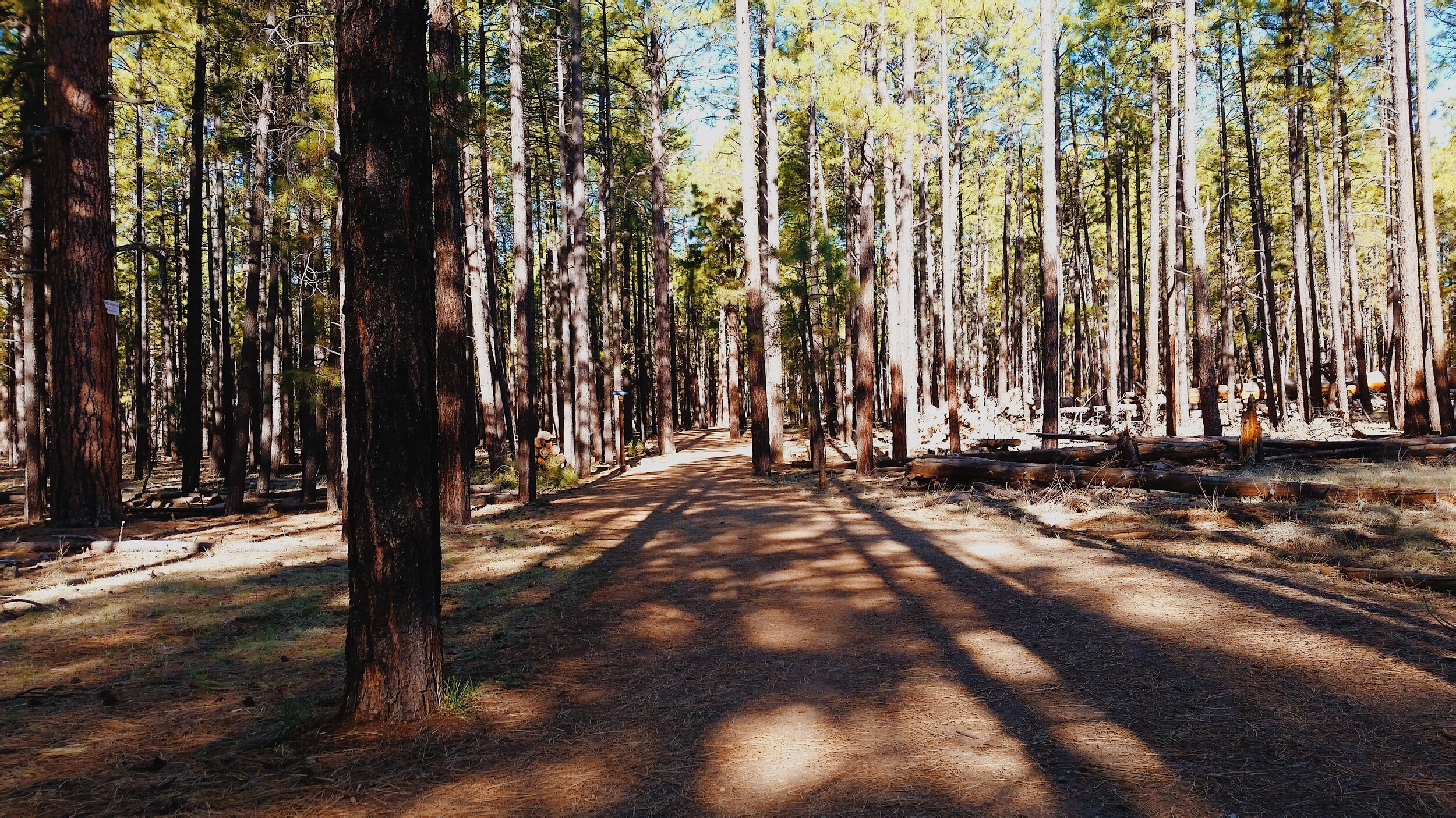
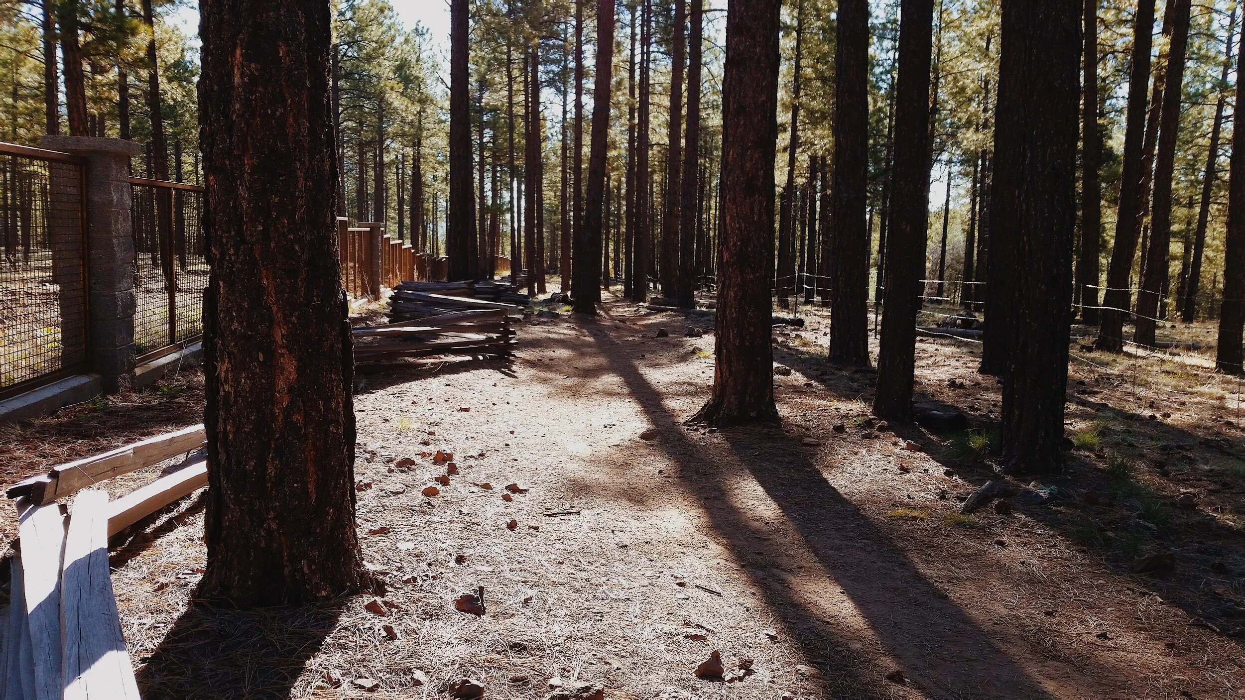
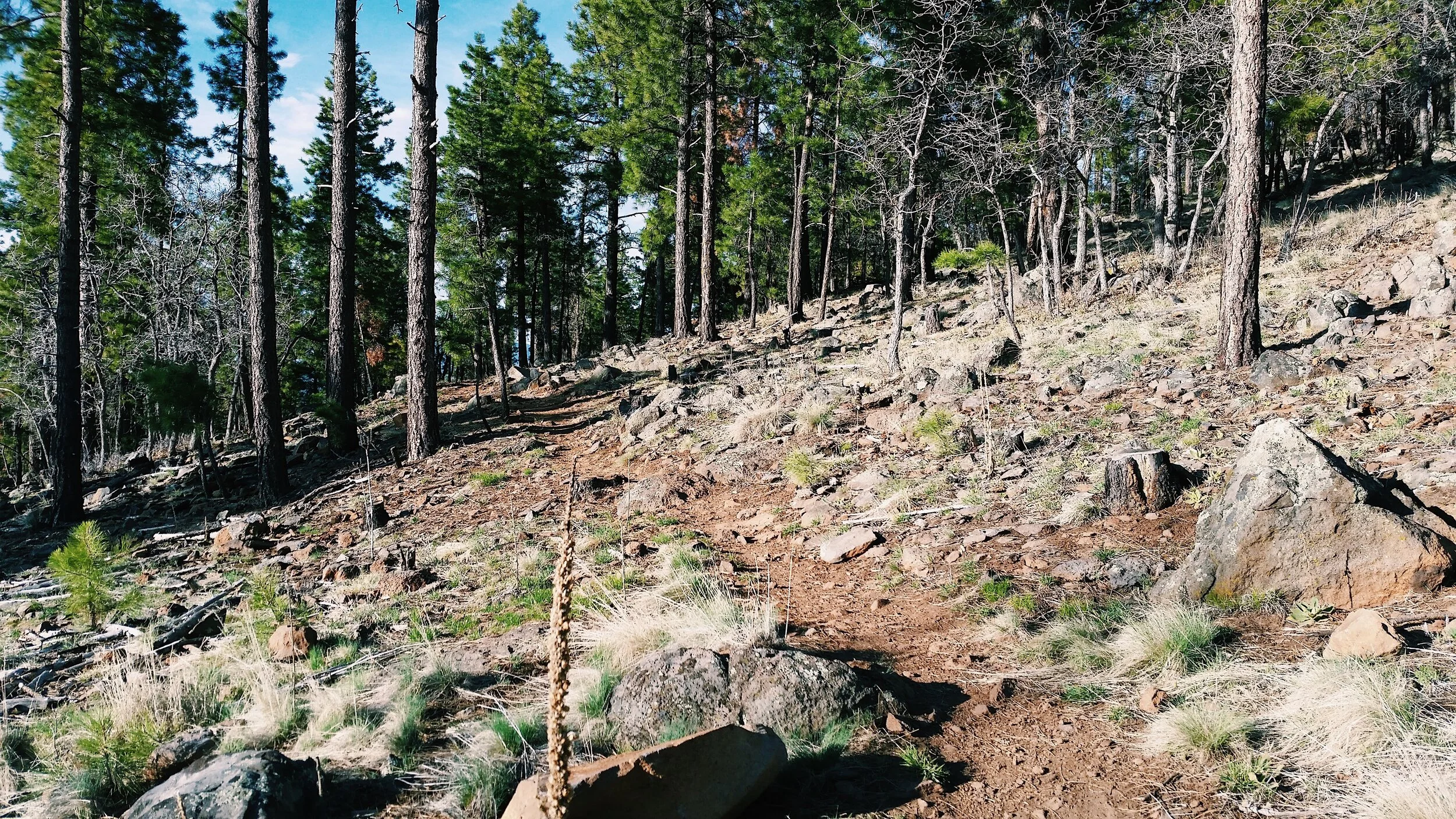


1. Flagstaff Urban Trail System (FUTS)
The FUTS is a city-wide network of non-motorized, shared-use pathways that are used by bicyclists, walkers, hikers, runners, and other users for both recreation and transportation.
There are just over 50 miles of FUTS trails in Flagstaff, however the City of Flagstaff has future plans for 130 miles! Whether you are a resident or visitor of Flagstaff, chances are you can get on the FUTS trails just minutes from your front door. If you would like a suggested route visit the store or contact us.
Surface
About half of the miles of existing trails are paved, either in concrete or asphalt, and half consist of a hard-packed, aggregate surface. FUTS trails are generally eight or ten feet in width.
FUTS trails offer an incredibly diverse range of experiences; some trails are located along busy streets, while others traverse beautiful natural places - canyons, riparian areas, grasslands, meadows, and forests - all within the urban area of Flagstaff.
2. Buffalo Park
A section of Flagstaff’s most popular urban trail makes a 2-mile loop around Buffalo Park. Buffalo Park is an expansive open space on McMillan Mesa. Most of the trail is on open, native grassland, but just to the west of the park entrance the trail dips into a wooded ravine. The trail provides a magnificent panorama to the mountains including the San Francisco Peaks, the Dry Lake Hills, and Mount Elden.
Buffalo Park is a haven for runners. This loop is ideal for an easy social run or various workouts, in fact Janet Cherobon-Bawcom 2012 US Olympian claims this is her favorite run in Flagstaff. Enjoy it for yourself; it’s approximately two miles from downtown flagstaff.
4. Lake Mary Road
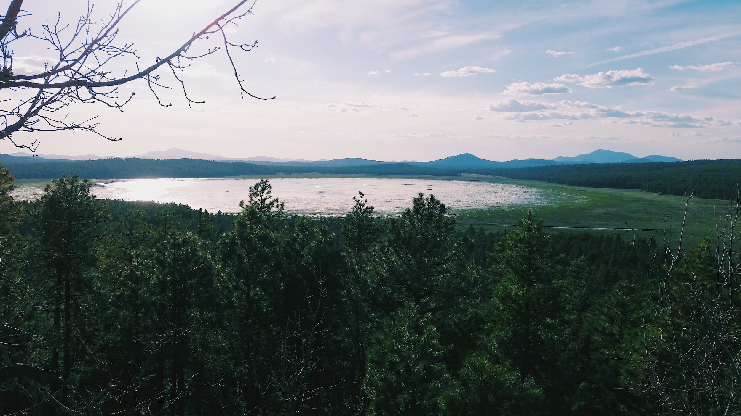
If you prefer a long paved road with wide shoulders this is the run for you. There is no doubt the highlight of this road is the 12 mile lake shore view of Upper Lake Mary. Along the road there are trail heads, boating stations, and picnic areas for parking, choose one that is to your liking
3. Schultz Creek Trails
This single track trail is a Flagstaff staple. It is the spine of braided trails that diverge and reconnect in the area. The idea of exploring this trail for the first time is to stick to the valley bottom and follow the signs.
From the parking area at the bottom of Schultz Pass Road, head up the valley on the Schultz Creek Trail for approximately four miles. The trail shoulders the creek bed that weaves through the ponderosa pine forest. Enjoy navigating through rock gardens and aspen groves as you make the steady climb to Sunset Trail parking lot/Schultz Tank. This is a great out and back trail run, day hike, or mountain bike ride. For ideas on loops or if you are curious about further exploration in this area visit the store and check out the most trusted trail map by Emmitt Barks Cartography.
5. Woody Mountain Road
Enjoy 32 miles of rolling wide dirt road. Woody Mountain Road takes you from flagstaff’s Arboretum through open cattle ranges and ending at the Mogollon Rim looking over Sedona.
To get there take old west route 66 headed toward I-40 west. Follow signs that direct you toward Flagstaff’s Arboretum. Off of old route 66 west turn left onto Woody Mountain road just past the Woody Mountain Campground. Go through the roundabouts and over Interstate 40. The road will soon turn to dirt. Form this point the Arboretum is about 2 miles further down the dirt road. This run is ideal if you are traveling with others who don’t run but want to experience and learn about flagstaff’s wilderness. To learn more about The Arboretum at Flagstaff and what it has to offer, check out their tours and events at http://thearb.org/


